The COAST-SCAPES project is structured into
6 interconnected Work Packages (WPs)


Integrated Multidisciplinary Methodology
We employ an integrated, multidisciplinary approach that combines cutting-edge science with stakeholder engagement. By bringing together researchers, policymakers, and local communities, we develop solutions that are both scientifically robust and practically implementable.
Stakeholder-Driven Solutions
Our approach prioritizes meaningful engagement with coastal communities and decision-makers. Through participatory processes, we ensure that resilience strategies reflect local knowledge, needs, and priorities while maintaining scientific rigor.
COAST-SCAPES adapts a
systemic approach:
Empowers stakeholders
To co-design, implement, and financially support resilience-through-adaptation pathways, seeking long-term compatibility and foresight

Combines
science and local knowledge
Applying transdisciplinary analyses and systemic evaluation of resilience solutions
Facilitates
capacity-building and governance transformation
Fostering cooperation and policy alignment to scale resilience across Europe
Combines science and local knowledge
Applying transdisciplinary analyses and systemic evaluation of resilience solutions
Empowers stakeholders
To co-design, implement, and financially support resilience-through-adaptation pathways, seeking long-term compatibility and foresight
Facilitates capacity-building and governance transformation
Fostering cooperation and policy alignment to scale resilience across Europe
Ensuring scalability and flexibility by verifying if the solutions developed in the CPs can work elsewhere, possibly with adaptations.
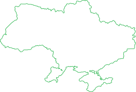
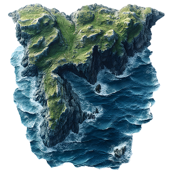
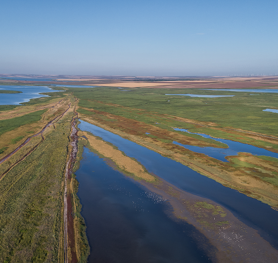
Ebro Delta
Ebro Delta is the largest wetland area of Catalonia and one of the most important regions of the Mediterranean, evolving from a small, wave-dominated system to a large landform due to an increase in sediment supply from human activities, such as deforestation and agriculture.
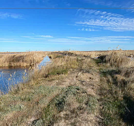
Aveiro Ria
The Aveiro Ria is a low-lying coastal lagoon system on the Portuguese Atlantic coast, characterised by sandy beaches and dunes that form a natural barrier between the lagoon and the open sea. Consisting mainly of medium quartz sand, this dune system features well-developed foredunes and is marked by seasonal beach variability.
Danube Delta
Located in the Northwestern part of the Black Sea, the Danube delta covers 580.000 ha, making it the second largest delta in Europe. It is recognised as a UNESCO World Heritage Site and a RAMSAR wetland of international importance due to its pristine environment with rich biodiversity and historical shape formed through natural sedimentation processes.
Serving as the main testing sites to develop and implement innovative solutions.
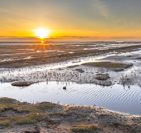
Weser Estuary and Wadden Sea
Located in the Atlantic-North sea mixing zone and comprising a total of 430 km², the Wadden sea-Weser estuary is an energetic zone, driven by ocean-land drivers, 73% of which is recognised as UNESCO World Heritage with saltmarshes, seagrass meadows, various faunal and fish species and 6 million migratory birds.
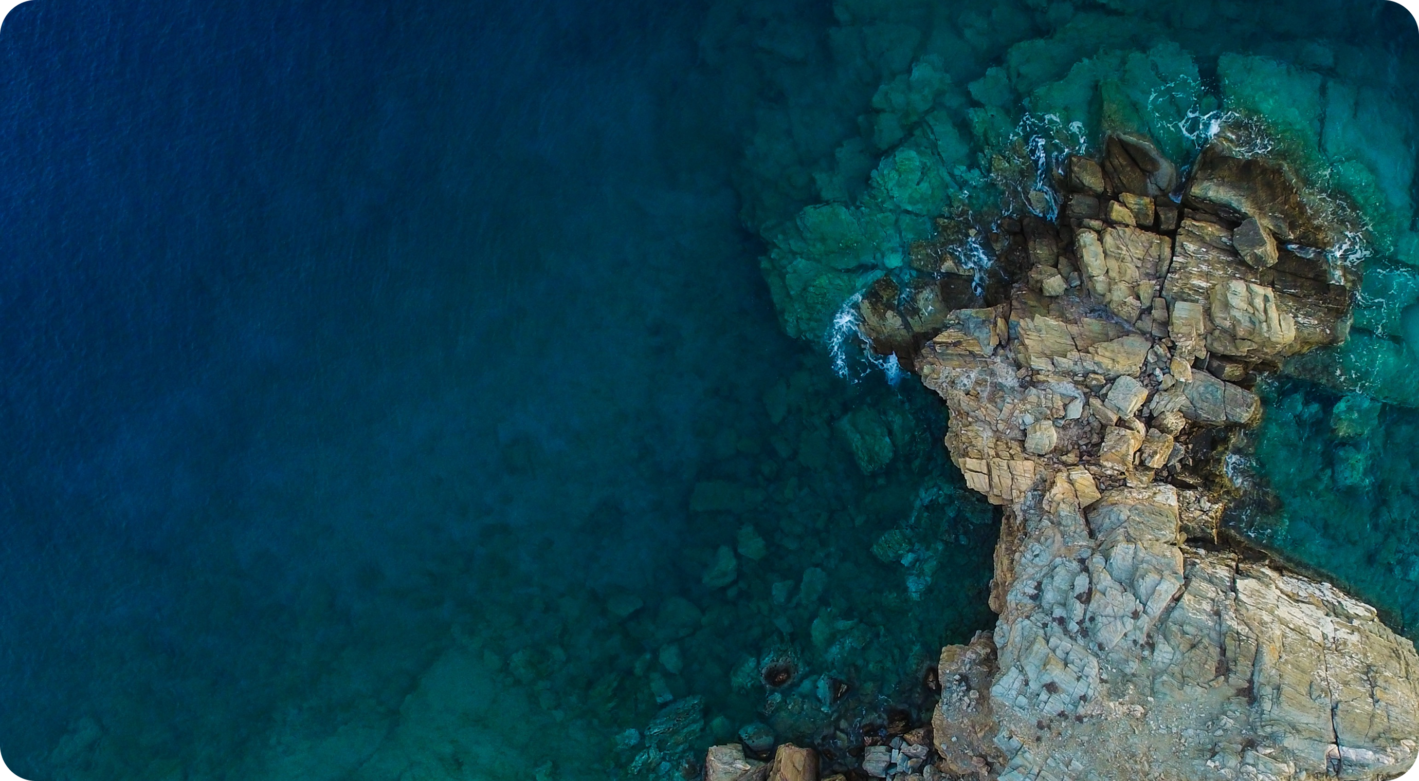
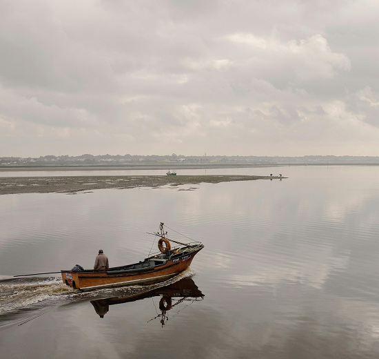
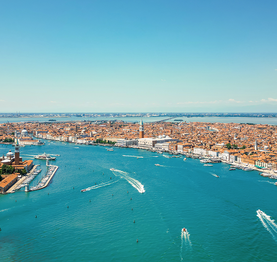
Venice Lagoon
Located in the Veneto region, the Venice lagoon with its functioning port is crucial for the survival of Venice. As the largest coastal wetland in Italy, it is responsible for the physical safeguard from sea and rivers and the de-pollution of the drainage basin.
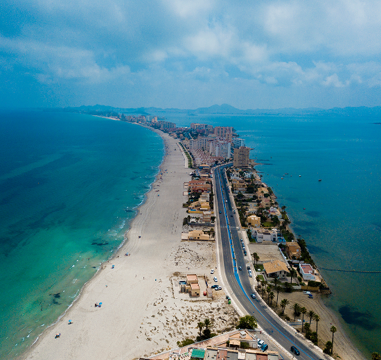
Mar Menor
The Mar Menor lagoon, with its watershed taking over 1,200 km², is known as the greatest coastal lagoon in the Western Mediterranean. It is hypersaline and consists of 5 inner islands, home to various lagoon habitats and biodiversity species such as the Hippocampus guttulatus, the Podiceps nigricollis and the Phalacrocorax carbo.
Translating the results from the CPs and RPs into strict guidelines, systemic training and governance frameworks to guarantee that what has worked locally can become useful internationally.
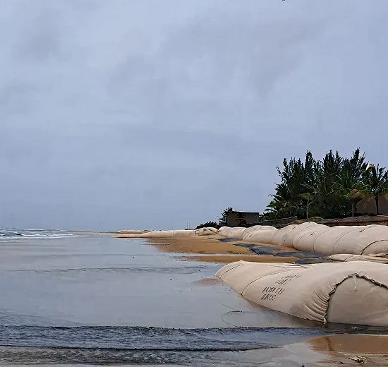
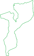
Inhambane Bay
Inhambane Bay, located on the Southern coast of Mozambique, is a shallow, well-mixed estuary, characterised by muddy and sandy bottoms, extensive intertidal flats and meandering channels, with a semidiurnal mesotidal tides, representing the dominant hydrodynamic forcing mechanism that governs circulation in the coastal system. Despite its ecological significance as a vital habitat for marine life, Inhambane Bay remains underexplored compared to other European estuaries.
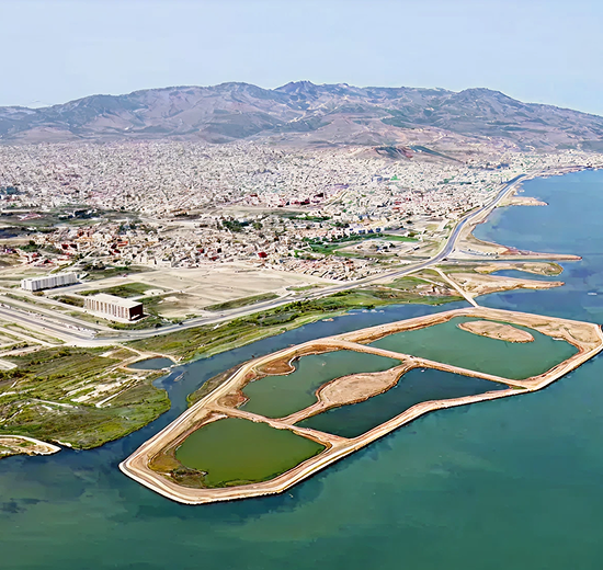
Mar Chica Lagoon
Classified as a SIBE site and RAMSAR site since 2005, the Mar Chica lagoon is one of the most important lagoons in the Mediterranean region, spanning an impressive 115 km² and home to various invasive species, such as sea hares, blue crab, Posidonia oceanica (native algae) and Caulerpa prolifera (invasive algae).
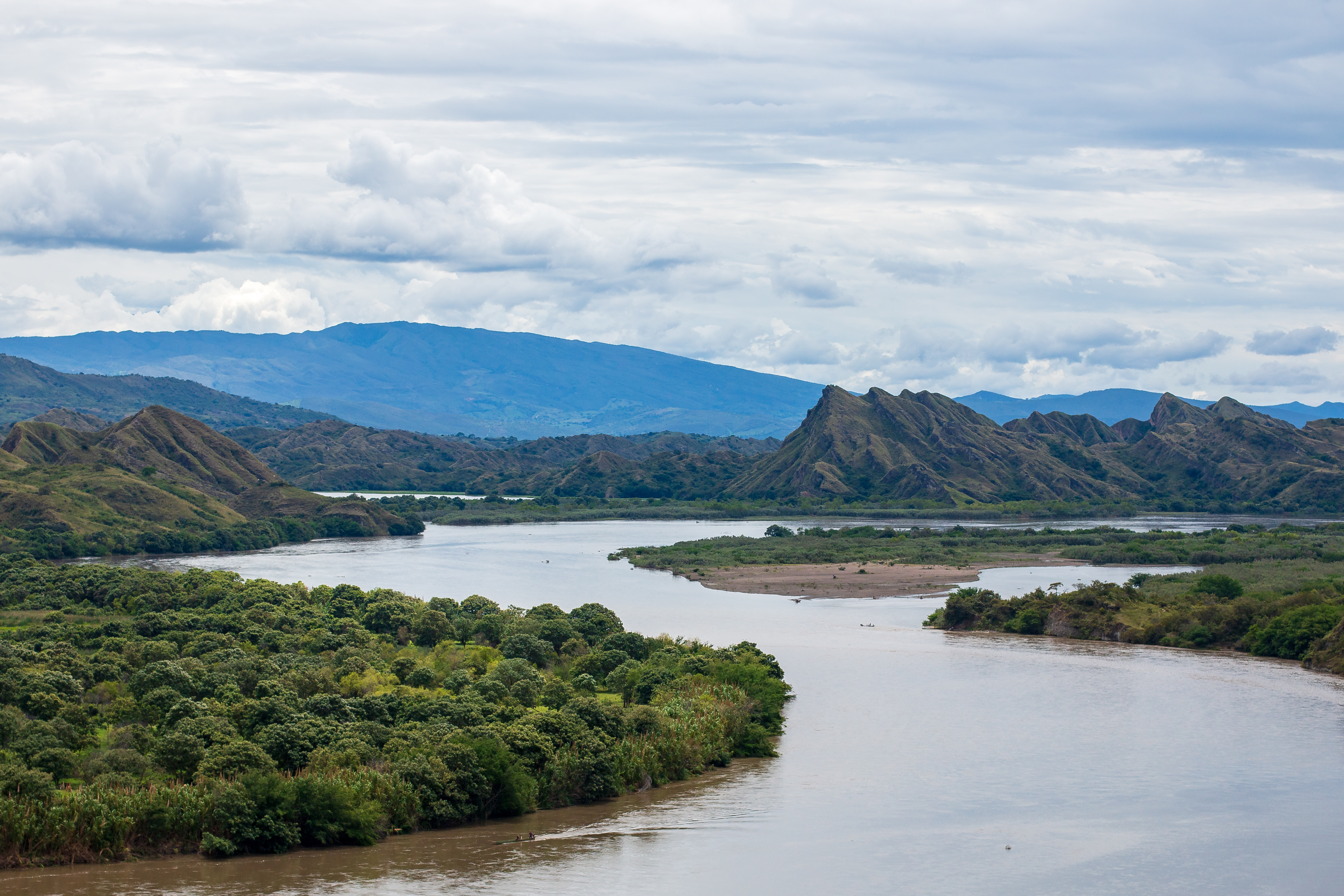
Magdalena estuary
The Magdalena estuary is a dynamic delta system with frequent channel shifts and island formation on Colombia's Caribbean coast, formed by the Magdalena River flowing into the sea. It is of crucial economic and ecological importance to the region as it is the main provider of freshwater, supports port activity and serves as a contributor of freshwater and sediment to the Caribbean Sea.
Connecting the project with strategically relevant non-EU contexts, showcasing innovative resilience practices and demonstrating the broader co-benefits of resilience-through-adaptation approaches.
Mekong low river basin-delta-sea system
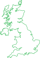
Firth of Lorn land-sea system
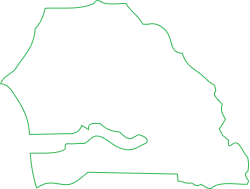
Casamance basin-delta-sea system
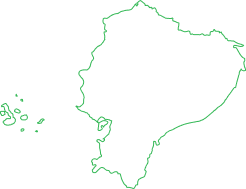
Galapagos Isabela wetlands and Villaamil Bay